There is a goat in the center of this photo.
Goat Tracks
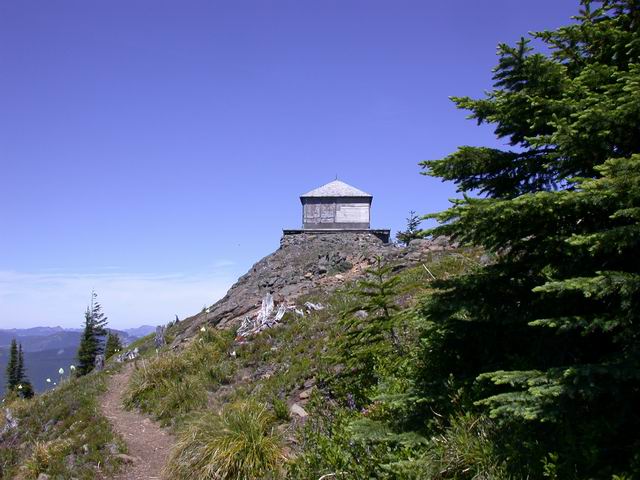
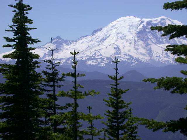
First look at the lookout

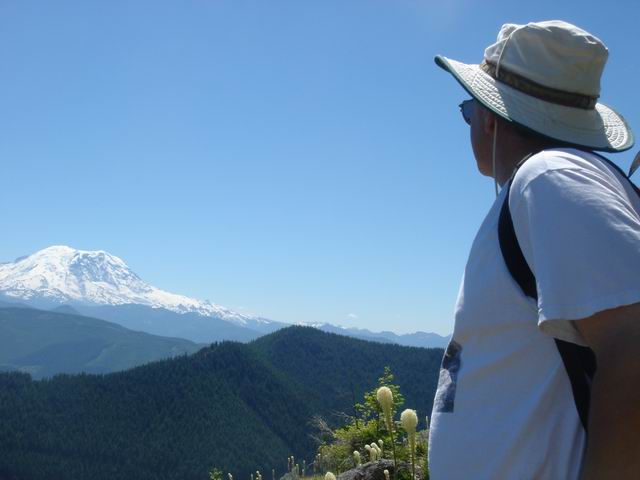
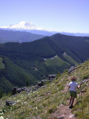
Rainier from the trail heading back.
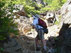
Decending the rope
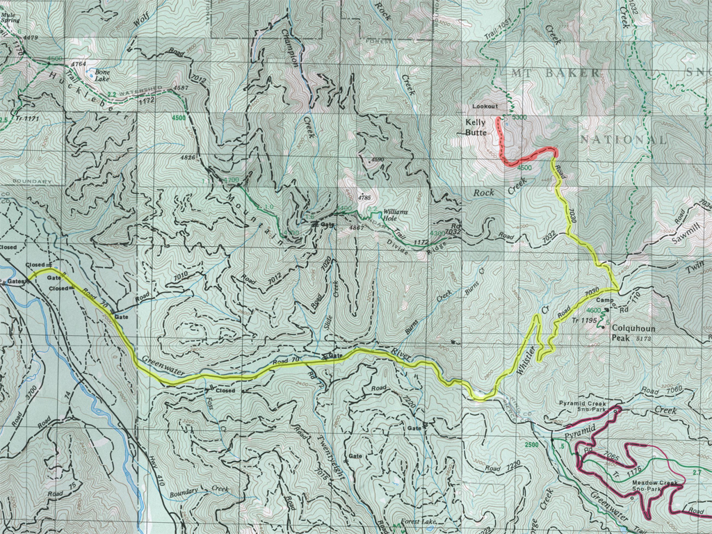
Trail map
| Map(s): Green Trails: Greenwater,Lester |
| Trail Distance: 1.25 miles |
| Elevation: Gain: 500 ft / Trailhead: 4913 ft / Top: 5413 ft |
| Difficulty: 1 0verall, 4 for the first 100 feet. ( 1(easy) 2 3 4 5 (hard) ) |
| GPS Coordinates: Trail head: N ? W? Lookout: N 47 10.156 W 121 29.421 |
| Hiking Partners: Jim and Cyd |
| Water availability: None |
| It was a beautiful 80 degree day. We could not get Randy out of bed to go with us. Cyd switched her work day to Sunday and we hit the road stopping at the Enumclaw Safeway for supplies. We filled a small cooler with water, YooHoo's and ice. The left turn onto FSR70 is a couple of miles past Greenwater. It is paved for the 8.1 miles to the left onto FRS7030 ("Whistler Road"). The road crosses the Greenwater River and continues 3.8 miles to the left at FSR7032. Follow it for about a mile to a right turn onto 7030 and follow it a short distance, probably less than a mile to the turnoff to the trailhead. We parked here at the junction. The lookout could be seen in the distance. We parked about 1/2 mile from the trail head. The remaining road was easy for a 4-wheel drive vehicle, but somewhat overgrown with a small turnaround at the trail head. (2003 Toyota Highlander) |
|
|
|
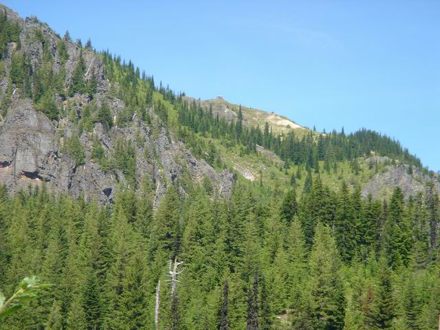
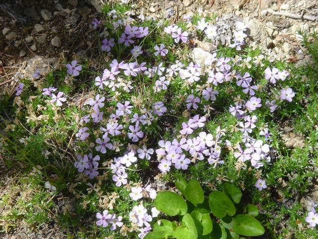
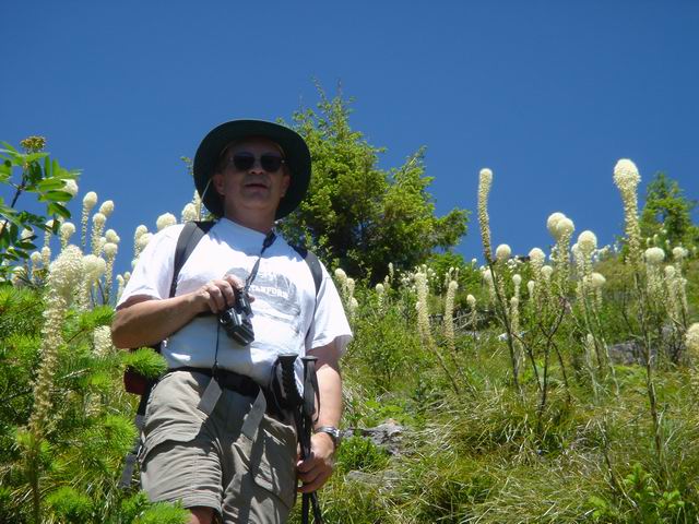
| We could see the lookout in the distance from the car. | We walked on the road about a mile to the trailhead. This part of the road was narrow and a bit overgrown in places. It was an easy road for four wheel drive, but limbs may scratch the car. Cyd is taking the picture of the flowers in the next picture. I think they are called Phlox. | |
|
|
|
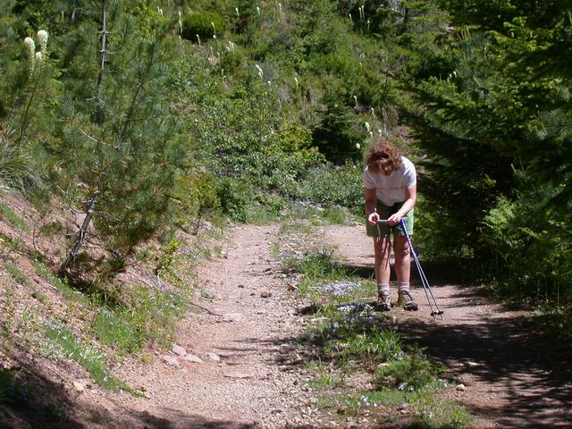
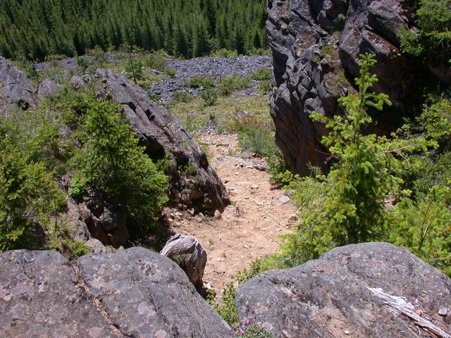
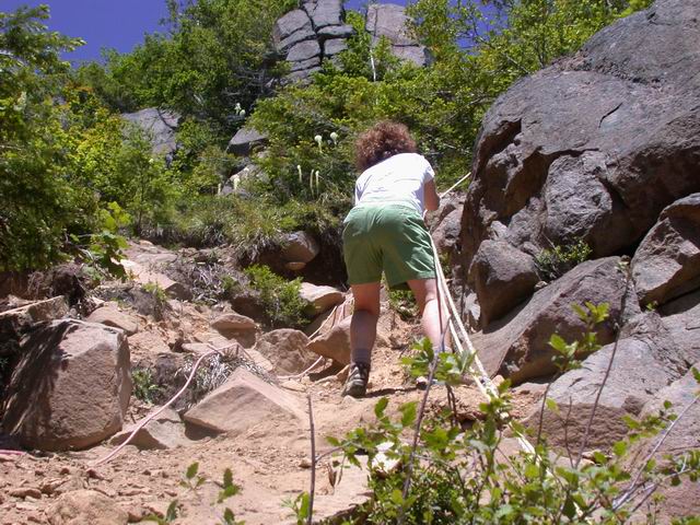
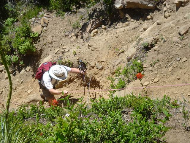
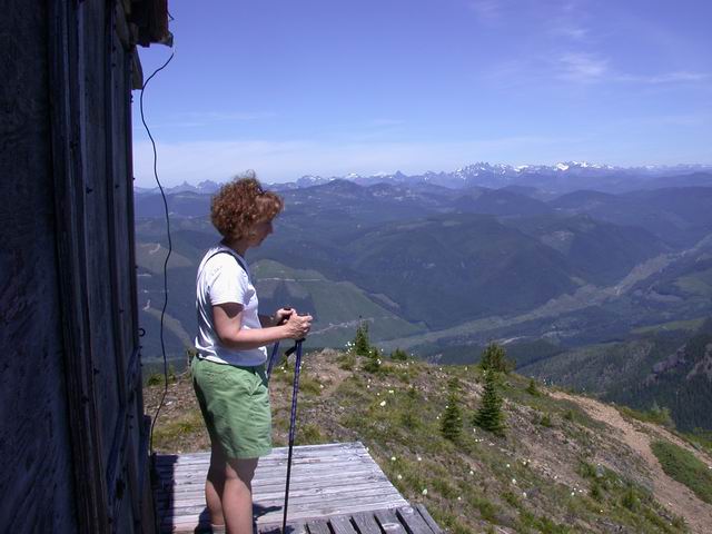
| There is a small turnaround at the trailhead. | Immediatley after starting the trail we were confronted with a 100 foot assent. Is is not as steep as it is daunting. Some good Samaritans have affixed several ropes. This photo is takin from the top. | Cyd put her head down and quickly made her way to the top. Her heart was beating from the assault and the fear. |
|
|
|
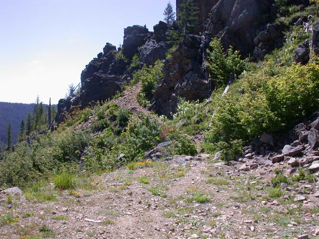
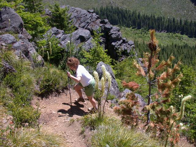
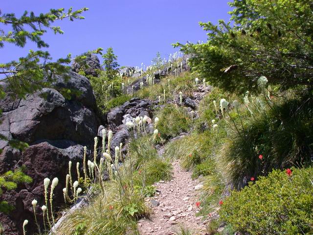
| After the steep climb the trail became a series of short switchbacks. | We took a liesurly pase on the trail | |
|
|
|
| There were thousands of Beargrass plants on the hillside | There is a goat in the center of this photo. |
|
|
|
|
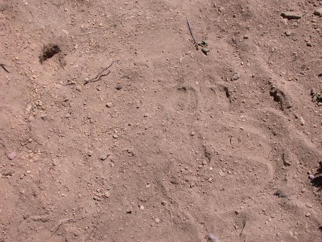
Goat Tracks |
First look at the lookout |
|
|
|
|
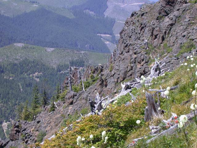
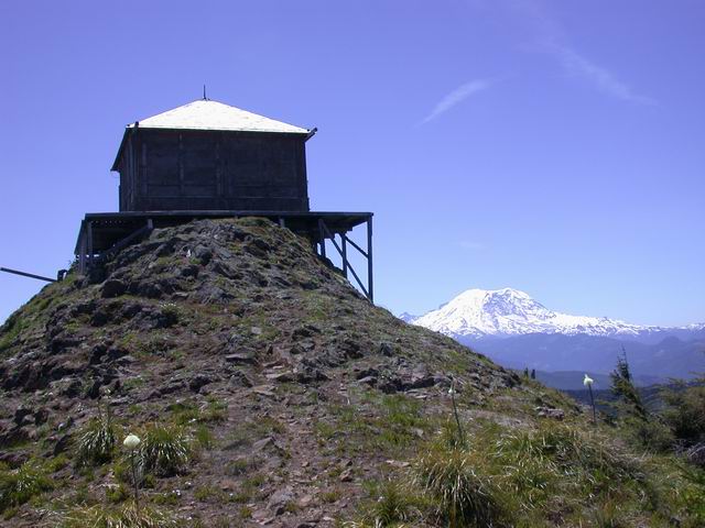
| The lookout is being restored. Last year it recieved a new shingle roof. | Rainier from the trail heading back. |
|
|
|
|
Decending the rope |
Trail map |
|